Open 0 days Ref PV-6T3XAT
Yarra Bank Highway, Melbourne
First reported 11 October 2026 · Department of Transport and Planning
Every report on Yarra Bank Highway Every report in Melbourne
The record
- Photographed
- 11 Oct 2026, 2:52 pm AEDT
- Published
- 11 Oct 2026, 2:52 pm AEDT
- Location from
- placed by hand
- Coordinates
- -37.821640, 144.973769
- Lane
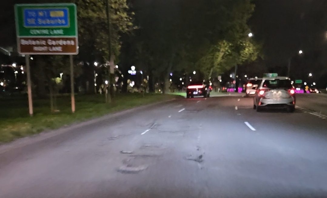
- centre, heading east
- Size
- large · coin
“Multiple potholes in a row”
Responsible authority
Department of Transport and Planning
Yarra Bank Highway is managed by DTP (5 m from the reported point).
Their reporting channel →Under the Road Management Act, whether an authority knew about a defect — and when — is central to any later claim. This page is that date, in public.
Driven past it recently?
One tap keeps the register honest.
Marking it fixed will ask for a photo — that photo is what makes the repair date stand up later.
History
- Reported and published · 11 Oct 2026, 2:52 pm AEDT